 |  |  |  |  |  |  |  |  |  |  | |
www.kitzastro.net

AUSTRALIEN 2024
Wilsons Promontory National Park
|
|

Wilsons Promontory National Park (since 1898) is located on the
peninsula of the same name (also known as Wilson Prom by locals) |

 |
| Blick von der Cape Litrap Halbinsel Richtung Osten, wo man in der Fenre die Berge der Wilsons Promontory Halbinsel sehen kann. View from the Cape Litrap Peninsula to the east, where you can see the mountains of the Wilsons Promontory Peninsula from far.. Sony RX10-IV |
 |
| Sandy Point - Wilsons Prom im Hintergrund. Sandy Point - Wilson's Prom in the background. Sony RX10-IV |
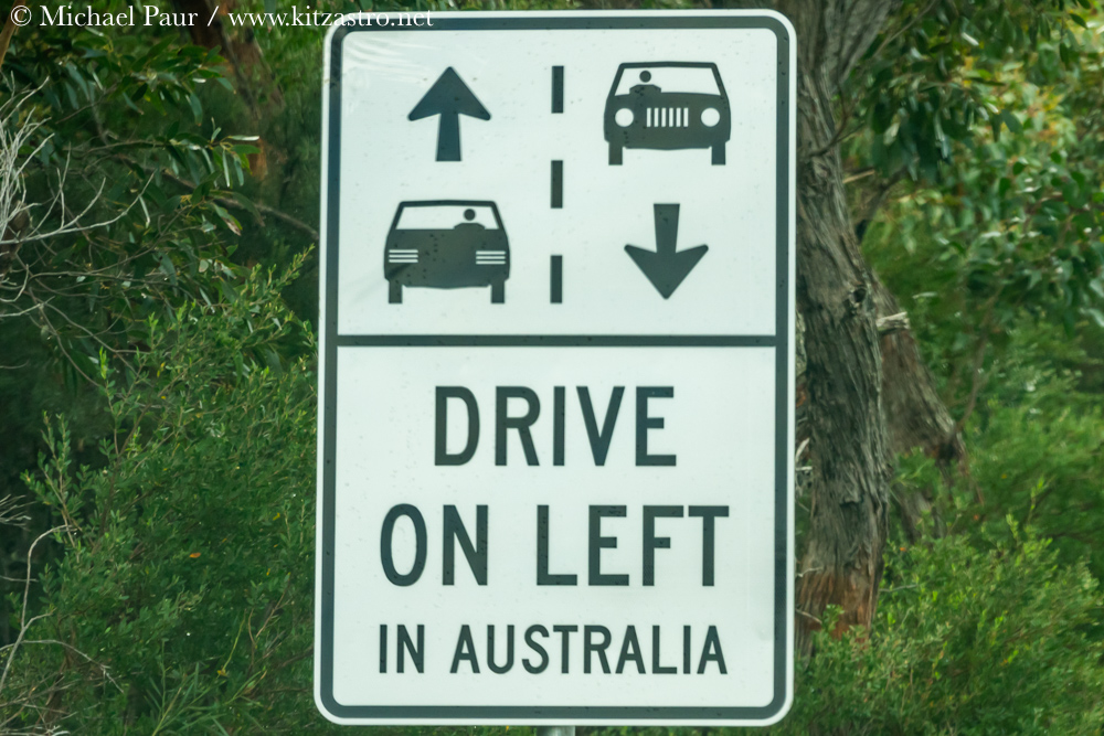 |
| Nicht vergessen - immer schön links fahren! :-) Don't forget - always drive on the left! :-) Sony RX10-IV |
 |
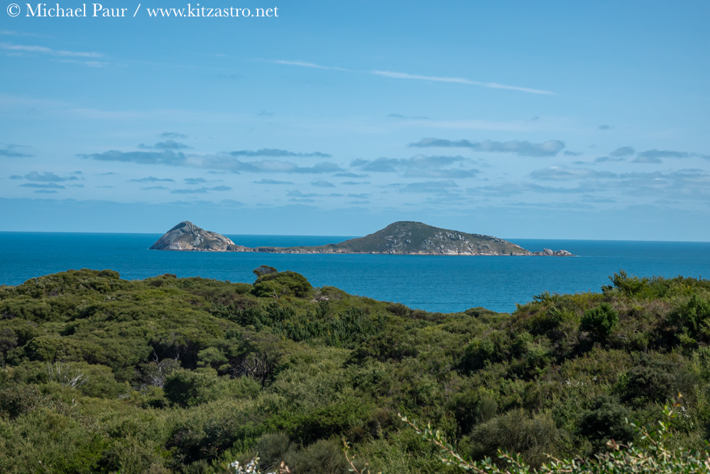
| Cleft Island (Skull Rock) Cleft Island (Skull Rock) Sony RX10-IV |
 |
| Tidal River - kleiner Fluß der je nach Tidenhub ab oder anschwillt - bekannt für sein rot-gelbliches Wasser, das durch die hier wachsenden Planzen und deren Tannin wie ein Tee gefärbt wird. Tidal River - a small river that ebbs and flows depending on the tide - known for its reddish-yellow water, which is colored like tea by the plants that grow here by their tannins. Sony RX10-IV |
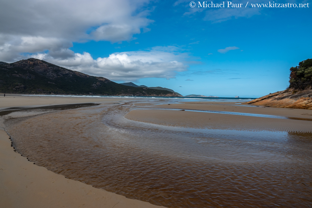 |
| Der Tidal River mündet am Norman Beach in den Ozean... The Tidal river flows into the ocean at Norman Beach... Sony RX10-IV |
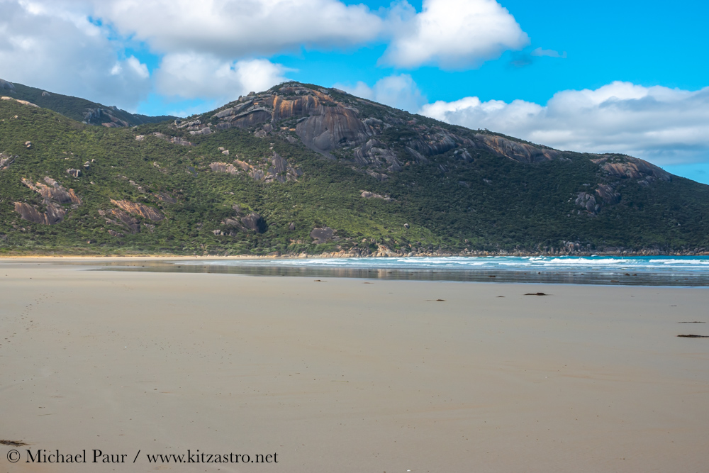 |
| Norman Beach - einsamer Strand. Lonely Norman Beach Sony RX10-IV |
 |
| Rosensittich Rose-ringed Parakeet Sony RX10-IV |
 |
| Tidal River Outlook - Blick von oben Tidal River Outlook - view from above Sony RX10-IV |
 |
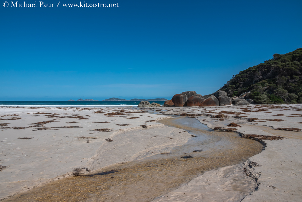
| Whisty Creek und Whisky Bay Whisky Creek and Whisky Bay Sony RX10-IV |
 |
|
Squeaky Beach.
Squeaky Beach. Sony RX10-IV |
 |
|
Blick vom Norman Lookout auf die Norman Island
View of Norman Island from Norman Lookout. Sony RX10-IV |
 |
|
Mount Nicoll Lookout auf dem Weg zu unserem Hotel...
Mount Nicoll Lookout on the way to our hotel... Sony RX10-IV |
Next stop - Gippsland und die Koalas :-)
Next stop—Gippsland and the koalas :-)
 |
zurück zur Australien 2024-Übersicht